








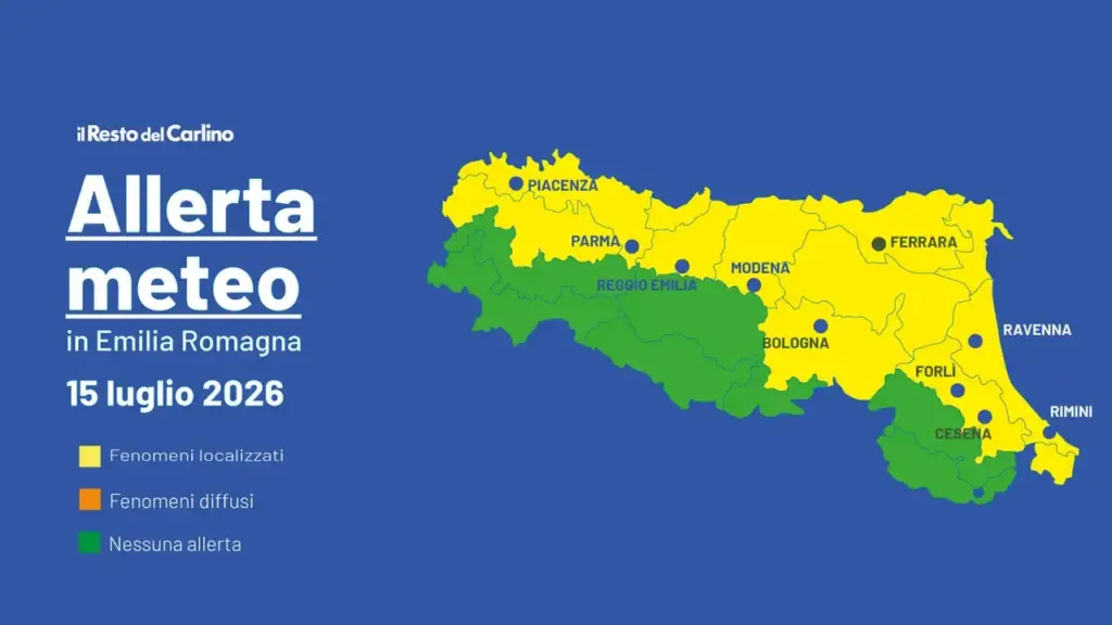
Bologna, July 14, 2026 – We are fully in the third heat wave of summer 2026. Between yesterday and today, Tuesday, July 14, these are the hottest days of the week in our region. From tomorrow, Wednesday, July 15, a new unstable phase should arrive, but only for a few hours in the afternoon and it will not bring any temperature drop (or at most a decrease of 1 or 2 degrees). In fact, the yellow weather alert issued is for thunderstorms, but also for extreme temperatures.
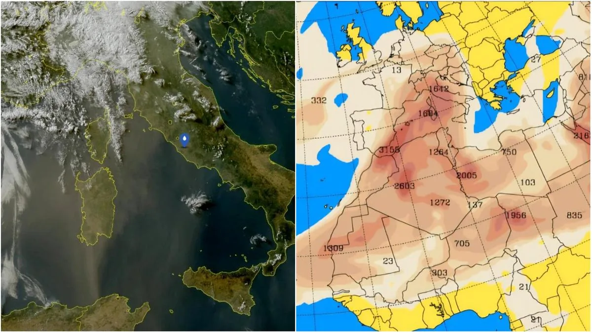
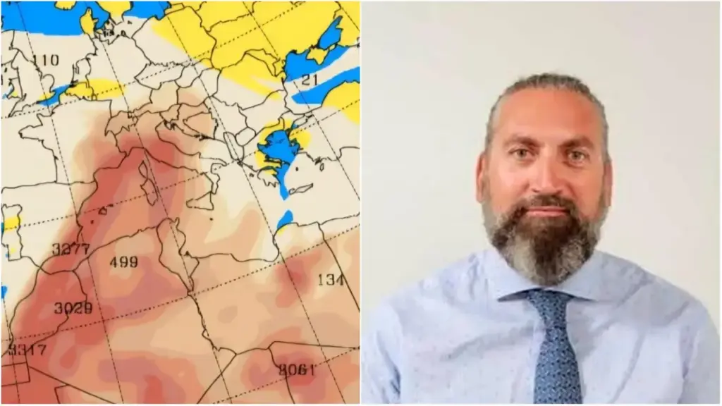
Thursday and Friday will be clear again, then rain is possible in some areas over the weekend. But above all, the protagonist of the winds and incoming thunderstorms is the Sahara sand, which has already reached our region since yesterday. The skies can therefore become milky or grayish due to the presence of desert dust.
Weather alert for thunderstorms and extreme temperatures on July 15: where
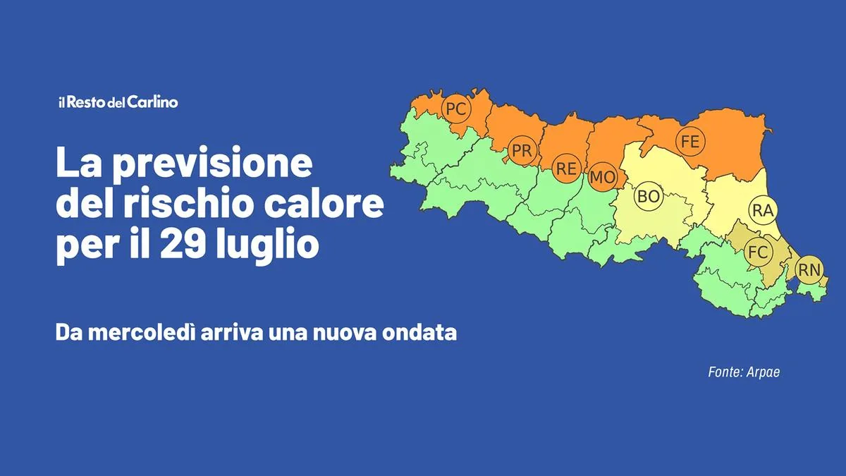
“On Wednesday, July 15, an increase in temperatures is expected, with maximum values in the plains and on the foothill belt of the central-eastern sector of the region close to or above 38°C,” warns the Arpae bulletin.
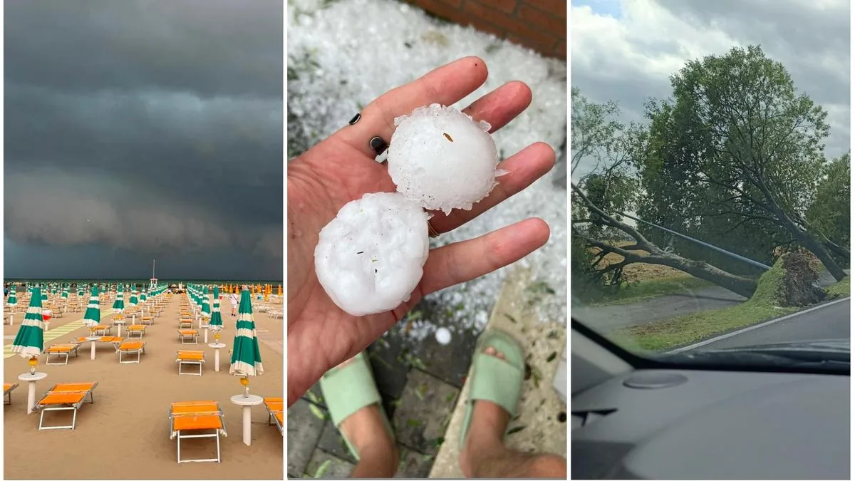
“In the afternoon – it continues – the development of scattered thunderstorms of short duration on the hills cannot be excluded.” They may also be of strong intensity, “developing in the western sector and then moving eastward, reaching the coast in the evening, with possible effects and associated damage. Temporary rises in water levels on minor watercourses and localized urban flooding cannot be excluded.”
So where will it rain and where will it be hot?
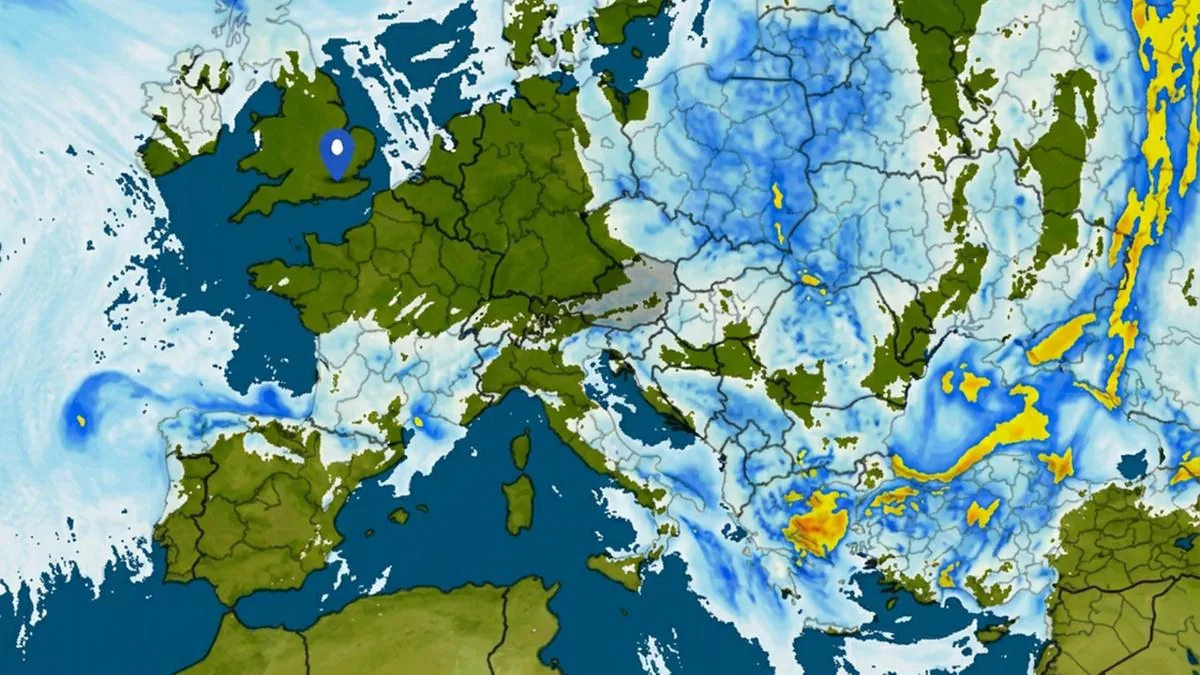
According to the alert, thunderstorms are expected widely across the hilly and flat areas of our region, including the coast. “Greater instability is expected along the Po axis up to the Ravenna area from late tomorrow afternoon. Specifically, between Mantua-Ferrara and Ravenna, with the worsening arriving tomorrow evening,” reports Roberto Nanni, meteorological technician at Ampro.
The heat will instead mainly affect the hills and plains of Emilia. Despite “the Atlantic currents taking over this week, the thermal context remains hot. The bulletins issued by the Ministry of Health predict record heat even in the main cities of Emilia.”
Orange and red alerts
In fact, today, July 14, Bologna has an orange alert. Tomorrow and the day after, July 15 and 16, it will be red alert.
According to Arpae weather forecasts: “From the afternoon unstable weather with possible development of thunderstorms and showers rapidly moving from west to east, more likely on the Emilia plains.” The provinces involved are all those in Emilia and Ferrara, excluding Romagna.
Then from Thursday, as Pierluigi Randi, president of Ampro, the Association of Professional Meteorologists, also told Il Carlino, “the situation could improve, partly because the mass of hot air that will make the south, Sardinia, and more generally the Tyrrhenian regions scorching, will only graze Emilia-Romagna.”
The peak arrives: heat and humidity
“The peak of this third wave is about to reach our country, with values far above average,” continues Nanni.
“This anticyclonic dome is dominating the entire Euro-Atlantic scene: therefore Spain, France, and Italy, especially on the major islands. But not least, also the Po Valley will suffer from this very hot and humid climate, with values around 38 degrees.” And again: “Humidity will have high values also in all northern areas, which due to greater variability and instability will be affected by the passage of some disturbances crossing from Central Europe. The risk of even strong thunderstorms remains (see weather alert, ed.), but maximum peaks up to 36/38 degrees are expected in the plains with muggy conditions also along the coast and urban centers, accentuated by updraft currents from the North African promontory which will remain firmly anchored between Morocco, Algeria, and Tunisia.”
Tropical nights continue
“No respite even at night,” according to Nanni, “with minimum temperatures above 20 or 25 degrees and inside this heat dome the zero-degree line will remain positioned at high altitudes around 5000 meters.”
The desert dust
The desert dust arrived in the region already yesterday, July 13. This week you may see “milky and grayish skies due to the presence of sand coming from North Africa, at least until Friday or Saturday, so even in the precipitation there may be contained percentages of sand,” explains Nanni.
How long will this heat last
There are no certainties yet, but it is “possible that the end of the third heat wave will be set for Sunday, July 19,” concludes Nanni. “The North Atlantic front, after reaching northern Italy, should also slide towards the center-south, bringing more temperate air and also a sharp temperature drop. However, the trend is still very uncertain and requires further confirmation.”