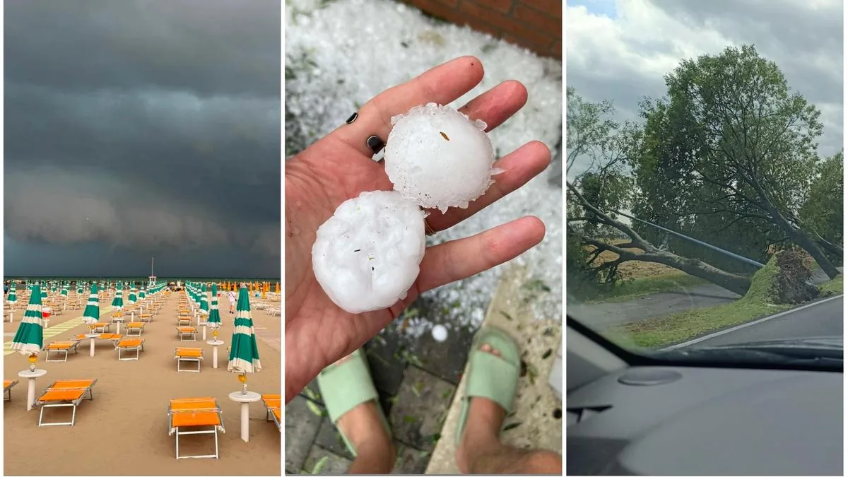









Bologna, July 16, 2026 – The day after the storm of July 15, every corner of the region is counting the impact of the thunderstorm: winds reaching almost 130 kilometers per hour, one death in the Modena area, blackouts, evacuations, and dozens of fallen trees from Piacenza to Rimini. Over one thousand interventions by firefighters already completed, 100 ongoing, and another 500 to be verified. Also, more than 1,800 calls per hour to the single emergency number Nue 112, almost 8 times more than the usual average of about 250 calls.
The disaster: water accumulations up to 100mm and many fallen trees
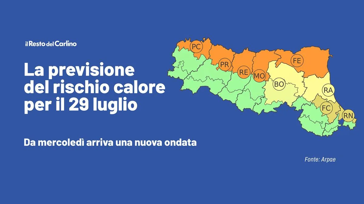
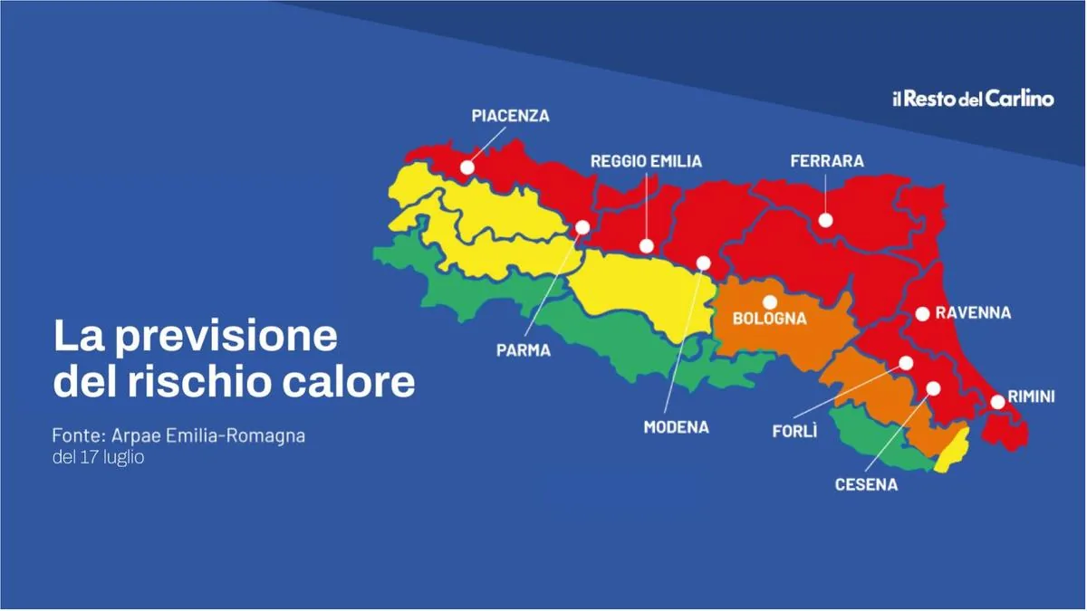
Today the maximum values will still be lower than Wednesday with temperatures generally between 32 and 36 degrees. According to experts, until a few years ago similar values were recorded on the hottest days, now they are recorded after a thunderstorm. On July 17, instead, it will be a red alert day and there will be a rise in temperatures in the central-eastern sectors. So in Romagna, especially between Forlì, Ravenna, and foothill areas, where peaks up to 39 degrees can be reached.
Returning to Wednesday the 15th, there was a lot of damage between Reggio Emilia, Modena, Bologna, and Ferrara: in the Ferrara area accumulations up to 70mm, locally over 100mm (intense precipitation in a short period of time (1-2 hours) in Bondeno), and many reports of flooding and fallen trees. The Apennines were less affected – as expected – while in the western Emilia mountains the second weather front brought greater effects.

Red alert Friday and Saturday then temperatures drop
The event, however, did not bring any relief, except during the rain itself. This is because Wednesday’s rain was caused by slight drops in geopotential and humidity in the Po Valley, not by an incoming cold front. So, when will this new heat wave end? According to the Arpae Operations Room, on Saturday (despite being a red alert day) a slight drop in temperatures is expected throughout the territory, with possible rain. But it is between Sunday and Monday that new thunderstorms will arrive, bringing a gradual temperature drop. Meteorologists say temperatures will fall below 30 degrees.
Read more Illness during diving in Lampedusa, Mauro Ergo dies

Instability will prevail: rain and sun will alternate until Wednesday
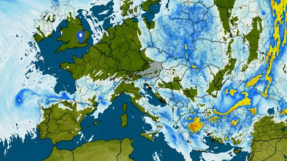
The “technical” cause of this phenomenon is that our region will be in an area of contrast between air masses with very different characteristics of sub-tropical and North Atlantic origin; on Tuesday and Wednesday the cooler North Atlantic currents should manage to enter the Mediterranean, particularly the Adriatic. Consequently, instability will prevail and sun and rain will alternate throughout the period, with a gradual temperature drop, and temperatures returning to values in line with the reference climatological average already by Tuesday.
The trend for the end of July and early August
After the relative coolness of next week, for the following 15 days (between Monday, July 27 and Sunday, August 9) mainly stable conditions are expected, although temporary episodes of instability with precipitation amounts slightly below the period average cannot be completely excluded. Temperatures will tend to rise again to values above normal, more or less the current situation.
Read more Cornelia found dead after 2 months in bedroom: a treasure of 137 thousand euros in cash at home