









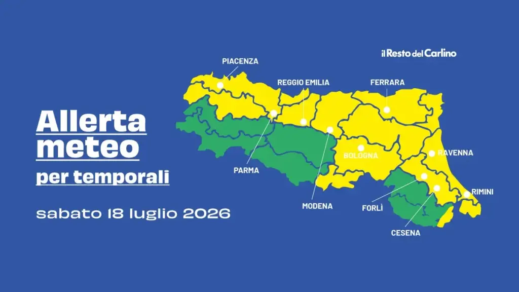
Bologna, July 17, 2026 – After the phase of bad weather that, on Wednesday evening, caused damage and disruptions across much of the region, it is already time to prepare for a new weather alert – this time “yellow” level, meaning ordinary criticality – for strong thunderstorms.
Indeed, because the experts from Arpae (Regional Environmental Protection Agency), in agreement with the Civil Protection, have issued a new bulletin, valid from 00:00 on Saturday, July 18 until the same time on Sunday, July 19.
The level of attention will rise, in particular, in the areas of the low hills and the Emilia plain, the low hills and Romagna plain and the Romagna coast, while the mountain and high hill areas should be sheltered from the most significant phenomena.
What the weather alert says for Saturday, July 18
“For Saturday, July 18 – the notice reads – conditions favorable to the development of thunderstorms, including strong ones, are expected that may affect the entire region, more likely in the plain areas, with possible associated effects and damage. Temporary and rapid rises in water levels on minor watercourses and localized urban flooding cannot be excluded. Furthermore, maximum temperatures may reach values up to 36°/37°C in the plains. Finally, widespread bioclimatic discomfort conditions are reported.”
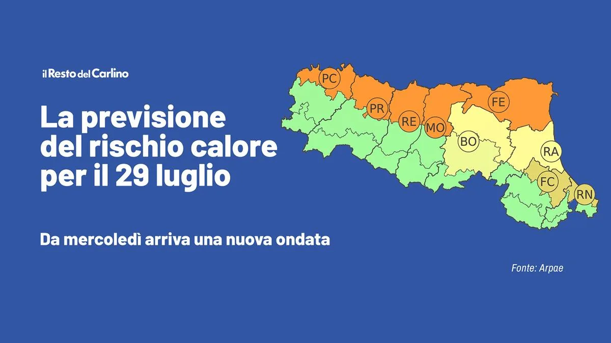
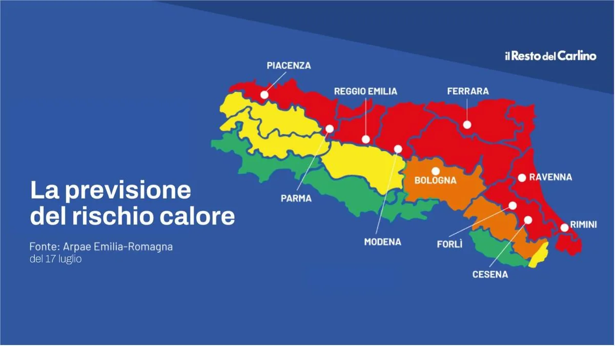
The yellow alert for thunderstorms is indeed linked to the peak of heat, which is delivering, especially today, temperatures very difficult to tolerate even for a healthy body.
The ‘heat dome’
According to experts, we are at the peak of the extreme meteorological phenomenon known as the ‘heat dome’. An extremely strong high-pressure area, fueled by the African subtropical ridge, has settled in recent weeks over the Mediterranean basin and acts like a huge invisible lid. It is the “pressure cooker” effect: the system pushes hot air downward, compressing it and preventing the heat accumulated in previous days from dispersing.
At the thermodynamic level, the peak we are feeling today is further amplified by the progressive overheating of the ground. Day after day, the asphalt, city concrete, and now dry soils have absorbed solar radiation without pause. Today this energy is massively released in the form of infrared radiation, but the high pressure traps it near the ground, saturating the air with humidity and causing the perceived temperature to soar to critical levels.

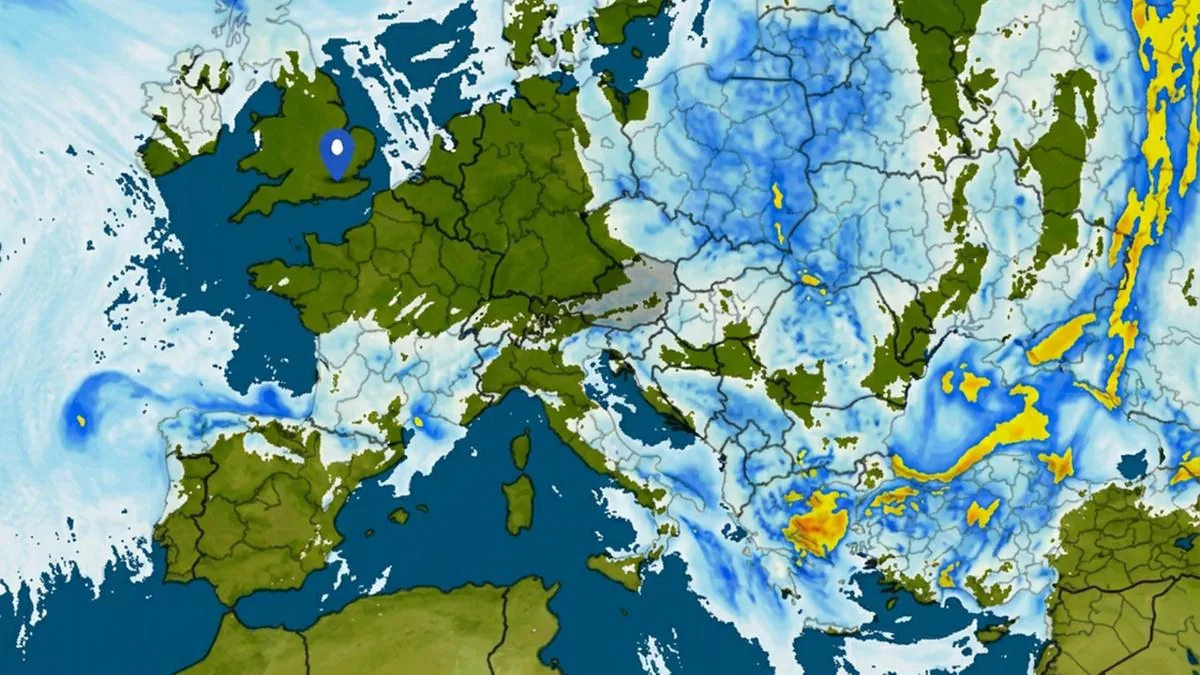
And it is precisely this energy that creates the perfect mix for new violent thunderstorms: cold air arriving from Scandinavia will clash with the heat accumulated in the Po Valley and with boiling Italian seas. The exact trajectory of the disturbance will only be definable close to the event through short-term models and real-time radar monitoring.
What to expect in the coming days
We asked Roberto Nanni, meteorological technician and scientific communicator at Ampro, if it is reasonable to hope for a real and somewhat longer-lasting relief following the expected thunderstorms. “Starting from Saturday the 18th, and more significantly from Sunday the 19th – argues Nanni, known on social media as MeteoRoby – the African anticyclone will begin to weaken under the push of cooler infiltrations from Northern Europe. Over our region, therefore, between Saturday evening and the first days of next week, we will observe an increase in the risk of showers and thunderstorms, which will be short-lived but locally also of strong intensity. It will still be very hot on Saturday, then a gradual temperature drop is expected, with temperatures returning to seasonal averages during the next week.”
To start feeling more pleasant temperatures, we will therefore have to wait for the long-awaited ‘turnaround’ on Monday the 20th.

A breath of fresh air (and new thunderstorms) in the coming days, but summer continues
From Tuesday the 21st, the cool down will reach the entire peninsula, granting a well-deserved break from the heat (28-30 °C in the North, 30-34 °C in the Center), but at the price of new thunderstorms, especially along the Adriatic side. By the end of the month, possible new heat waves are forecast, but for now they are not expected to be as extreme as those we have experienced so far.