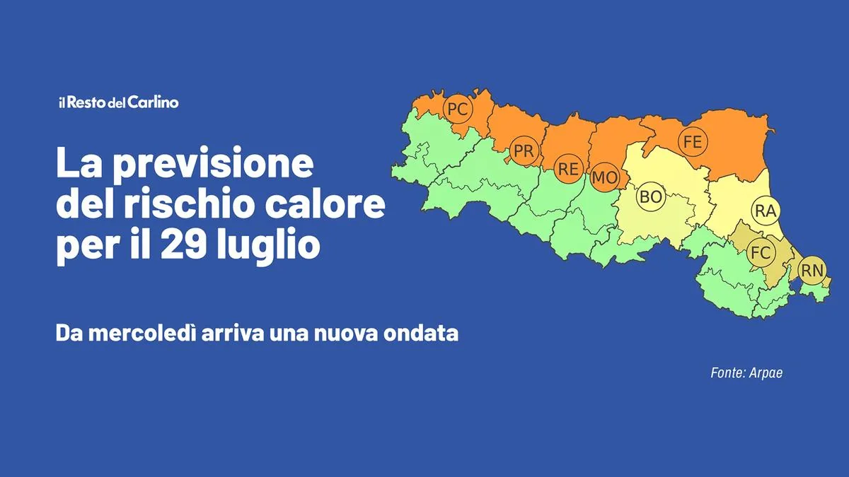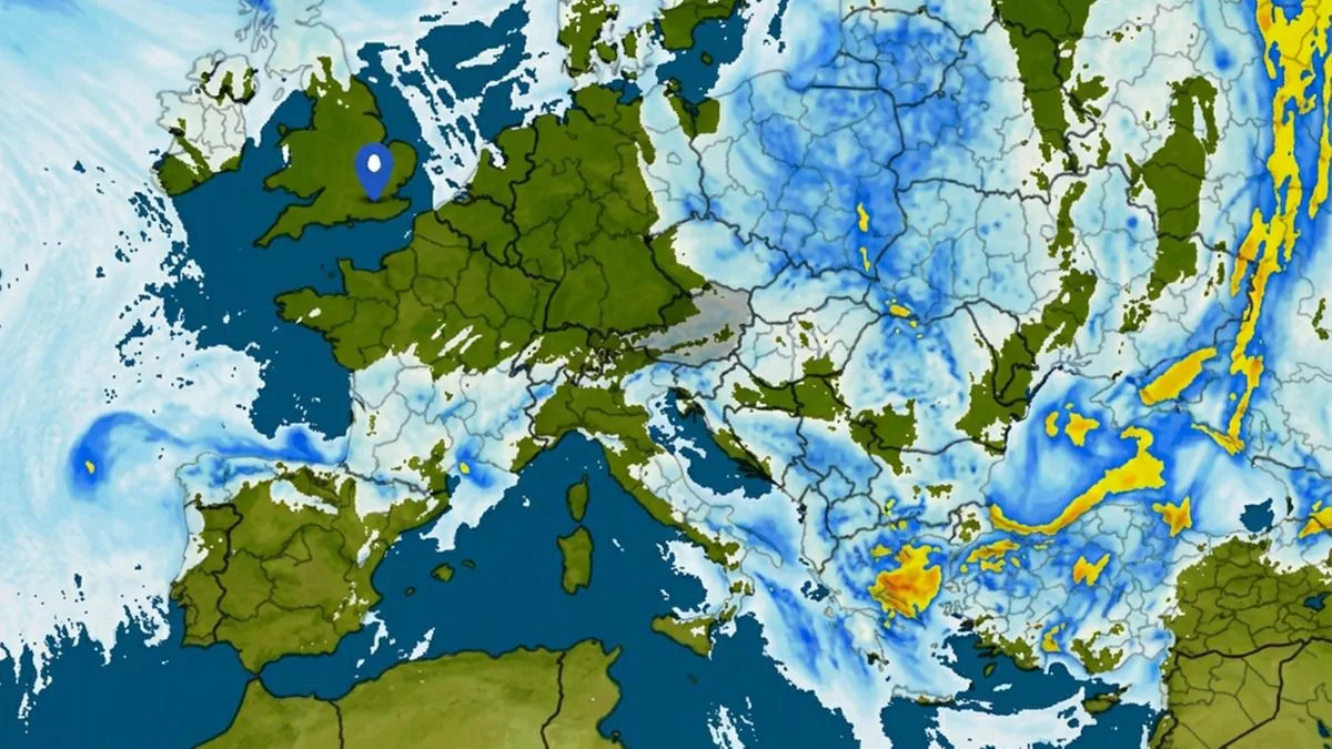









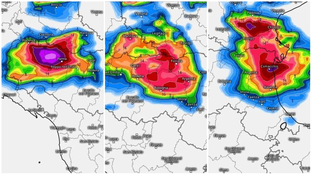
Bologna, July 15, 2026 – Thunderstorms in Emilia Romagna: the alert from yellow turns orange for this afternoon (Wednesday, July 15). On a day when temperatures rose above 38 degrees, from 4 pm it will most likely be bad weather taking center stage with strong gusts of wind. The wave will move from the inland towards the coast, where particularly intense thunderstorms are expected in the evening that could also repeat in the early hours of the night.
Tomorrow (Thursday 16) normality should return although light rain cannot be ruled out.

Here is the bulletin issued by Arpae
“On Wednesday, July 15 – reads the Arpae bulletin – an increase in temperatures is expected, with maximum values in the plains and on the foothill belt of the central-eastern sector of the region close to or above 38 °C”.
“From late afternoon, especially in the plains, conditions favorable to the formation of particularly intense thunderstorms characterized by very strong wind gusts are expected, developing in the western sector and subsequently moving eastward, reaching the coast during the evening, with possible associated effects and damage”.
“The precipitation may cause occasional landslides and runoff phenomena. Increases in water levels in minor watercourses and urban flooding will also be possible”.
“Cloudbursts, hail and strong wind”
“The thunderstorm front that will literally cross our region from west to east will not go unnoticed at all: not only cloudbursts and medium-large hail, but also and above all a sudden and strong strengthening of the wind,” warns the Emilia-Romagna Weather Center.
“The wind gusts ‘exiting’ from the core of the thunderstorm system, a process known in meteorological jargon as ‘downburst’, will reach strong or very strong intensity: the Swiss HD model estimate sees values between 80 km/h and 110 km/h, but with peaks up to 120-130 km/h. The most affected areas will be Emilia and northern-central Romagna”.
Return to normality tomorrow
“For Thursday, July 16 no significant phenomena are expected for alert purposes. However, the possibility of scattered and short-lived thunderstorms, locally also of strong intensity, more likely in the northern plains in the early hours of the day, with possible associated effects and damage, cannot be excluded”.
Read more Pedestrian hit by a bike, dies at 41: singer Paolo Belli involved